
Services
Built for four very different briefs
Each one is scoped, flown and delivered differently. Pick the closest fit and the quote comes back the same day.
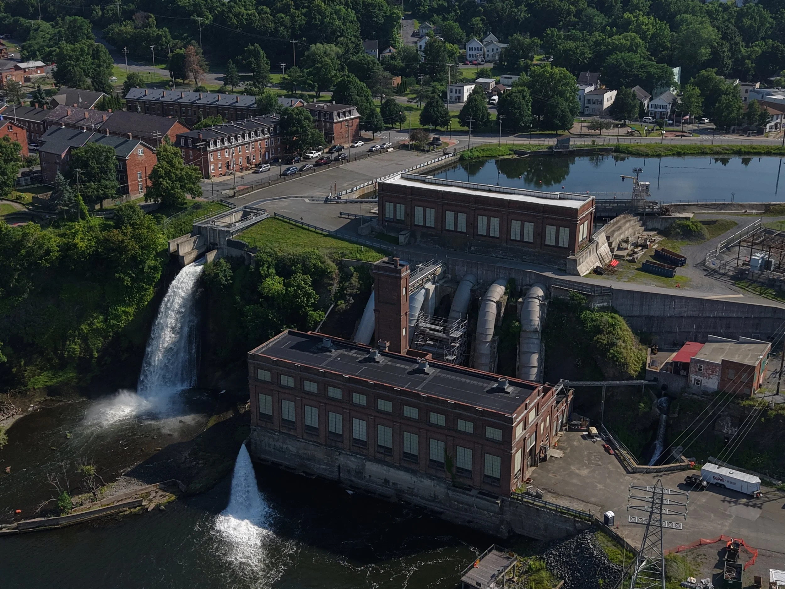
Commercial & Infrastructure Inspections
Get eyes on a roof, facade, tower or spillway without scaffolding, a lift rental or a shutdown window. We fly the elevation, capture every panel and hand back documentation an adjuster or engineer can act on.
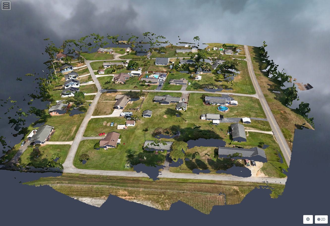
3D Spatial Mapping
Automated grid flights processed into measurable data. Track stockpile volume month to month, hand a contractor an accurate site plan, or give a buyer a true picture of acreage and topography.
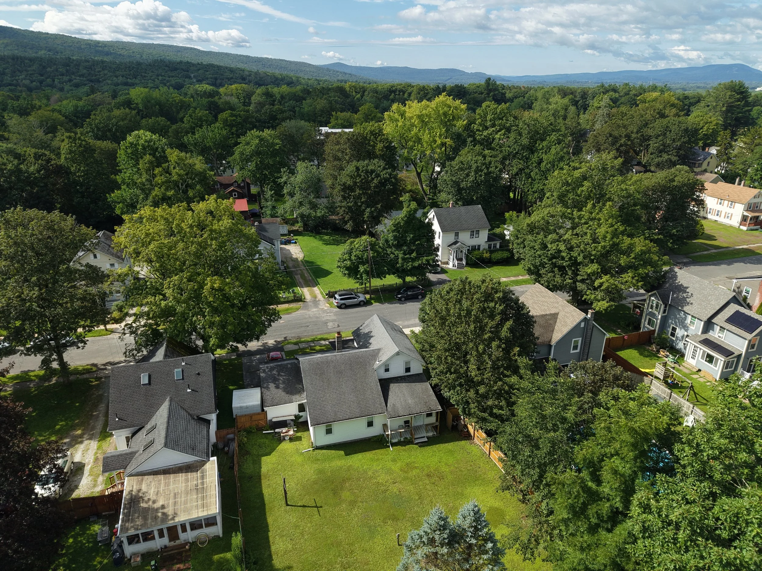
Luxury & Commercial Real Estate Media
Listings sell on the approach, the setting and the light. We shoot at the hour the property looks best, grade in 10-bit, and deliver a set sized for MLS, print and social without you having to crop anything.
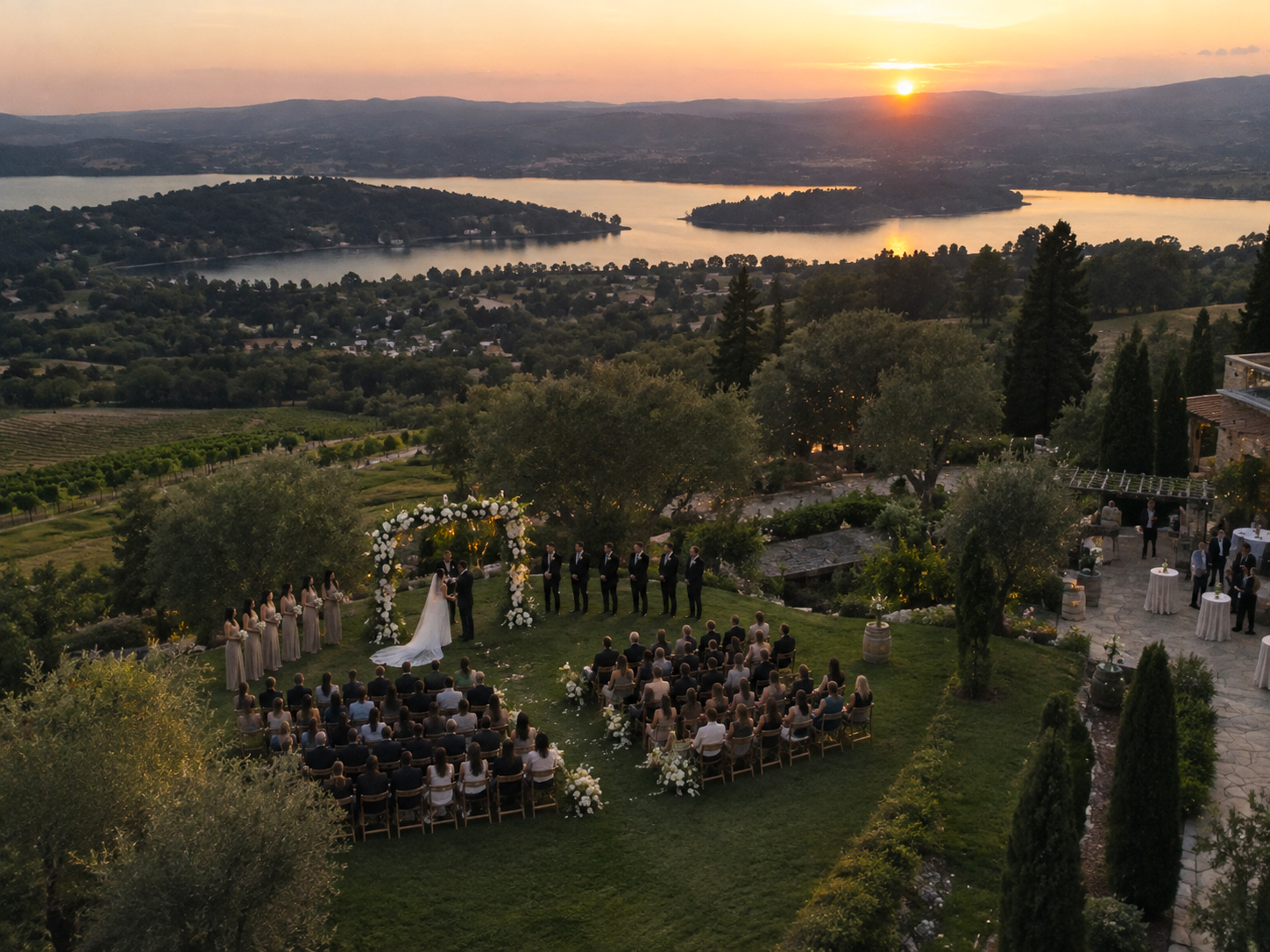
Cinematic Events & Commercial Campaigns
The shot that makes an edit feel like a film instead of a recap. We work alongside your existing videographer or handle the aerial unit end to end, and we clear the airspace before the day so nothing gets grounded.